Category: GIS
-

Flutter the rising star for Multiexperience Development Platforms
For multiple projects I am currently evaluating a lot of different technologies in the mobile space. A typical decision that a project manager for mobile applications has to take is […]
-

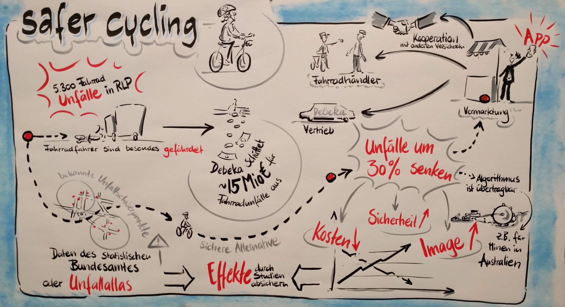
Safer Cyling – using car accident data to find safe routes in Koblenz
This blog post will contain a description of the routing algorithm that was implemented on the 23.11. – 25.11.2018 on the debeka hackquarter to find safer cycling routes in Koblenz. It […]
-

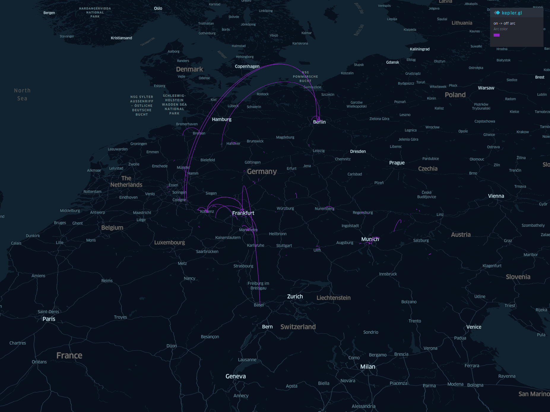
Visualizing my trips from Google Maps with Kepler.gl
In this blog post I will post a visualization of my trips between 2015 and 2018 mainly in germany. Further it contains the Java code that I used to convert […]
-

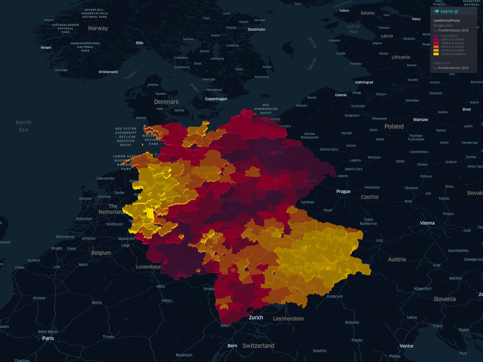
Visualizing farmland property prices in germany based on 2016 sales with kepler.gl
In this blog post I will tell a small data story about farmland prices based on data of 2016. The data is mainly given by Statisches Bundesamt and Bundesanstalt für […]
-

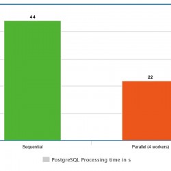
PostGIS 2.3 parallel performance 2 times faster on PostgreSQL 9.6 on a real live example
This blog post will show an example for the parallel query processing capabilities from PostGIS 2.3 running on PostgeSQL 9.6. It is based on the project Lebensriskoexplorer. The data that […]